-
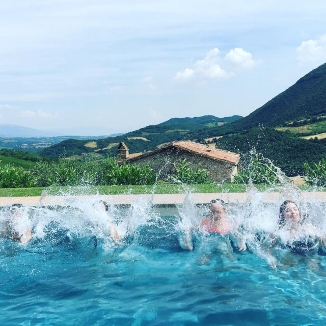
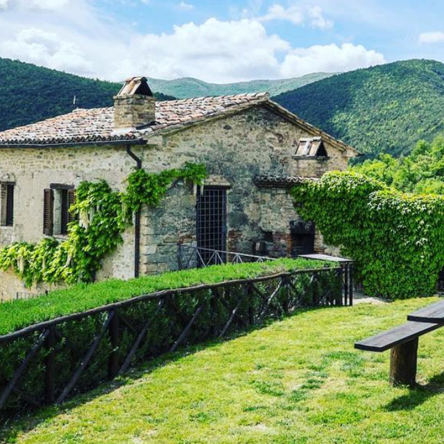
Casa San Gabriel
-

Casa San Gabriel
-
Casa San Gabriel
-
Casa San Gabriel
-
Casa San Gabriel
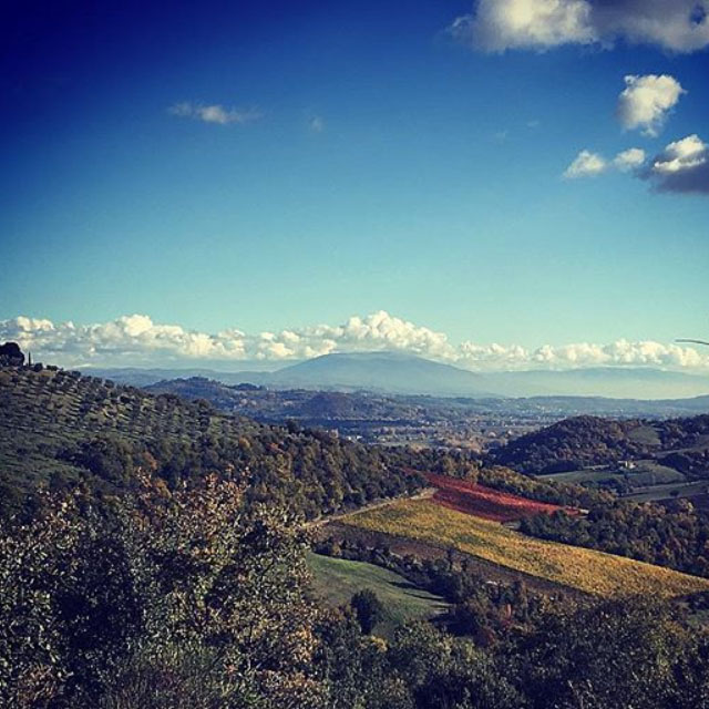
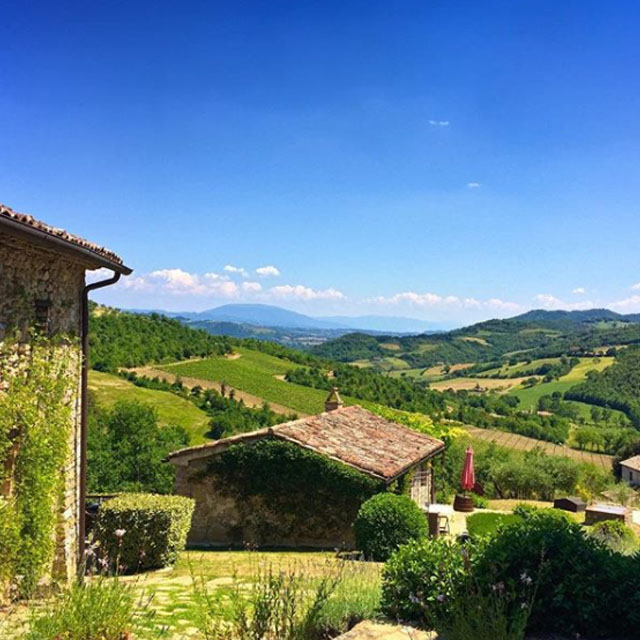
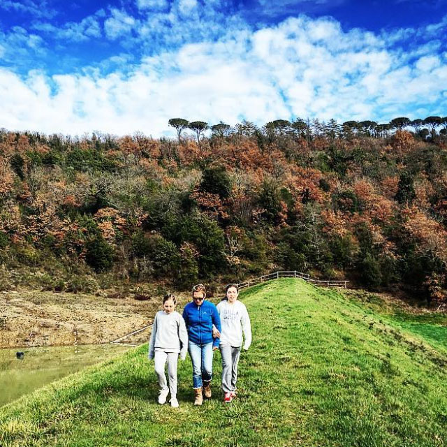
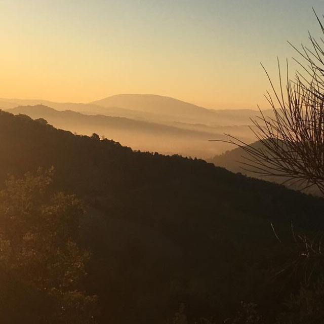
Nature
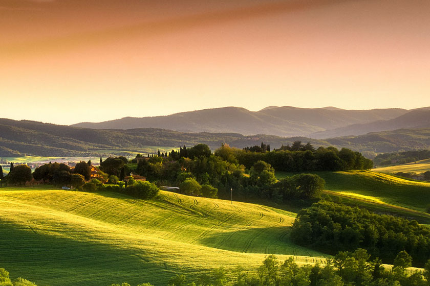
Everchanging, untouched landscapes in the green of winding
valleys make Umbria a region that will never fail to amaze. This region comprises
mainly hills, mountains, hollows and plains and extends along the Tiber’s
central basin. At the heart of the boot, it is the only region with no coastline.
In this panorama of changing vibrant colors many villages stand on hilltops,
overlooking the plains below.
-
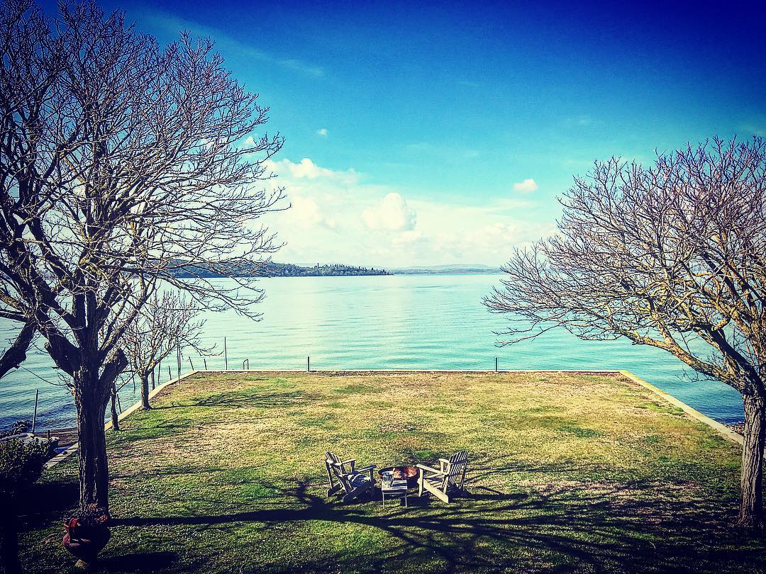
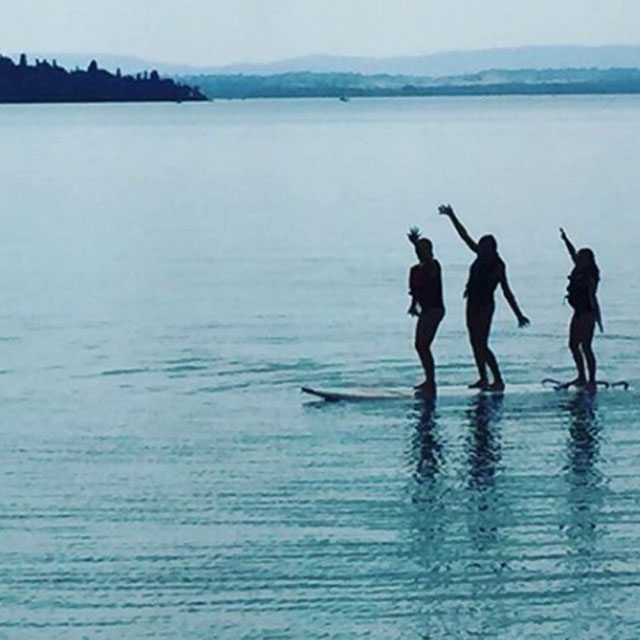
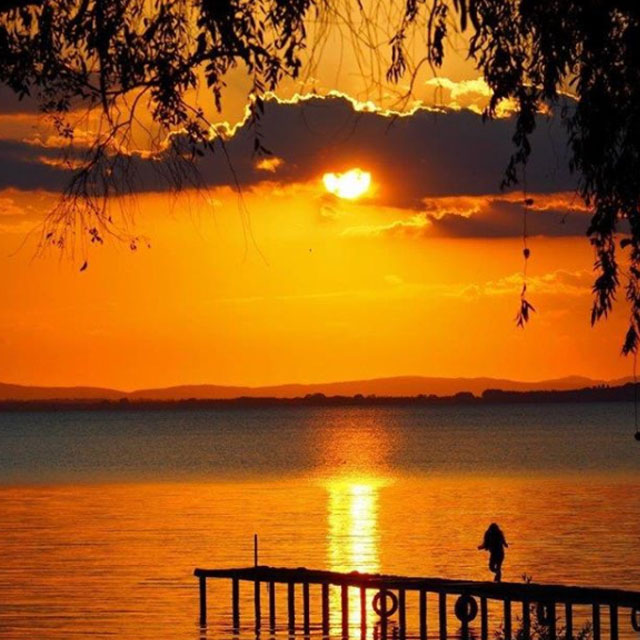
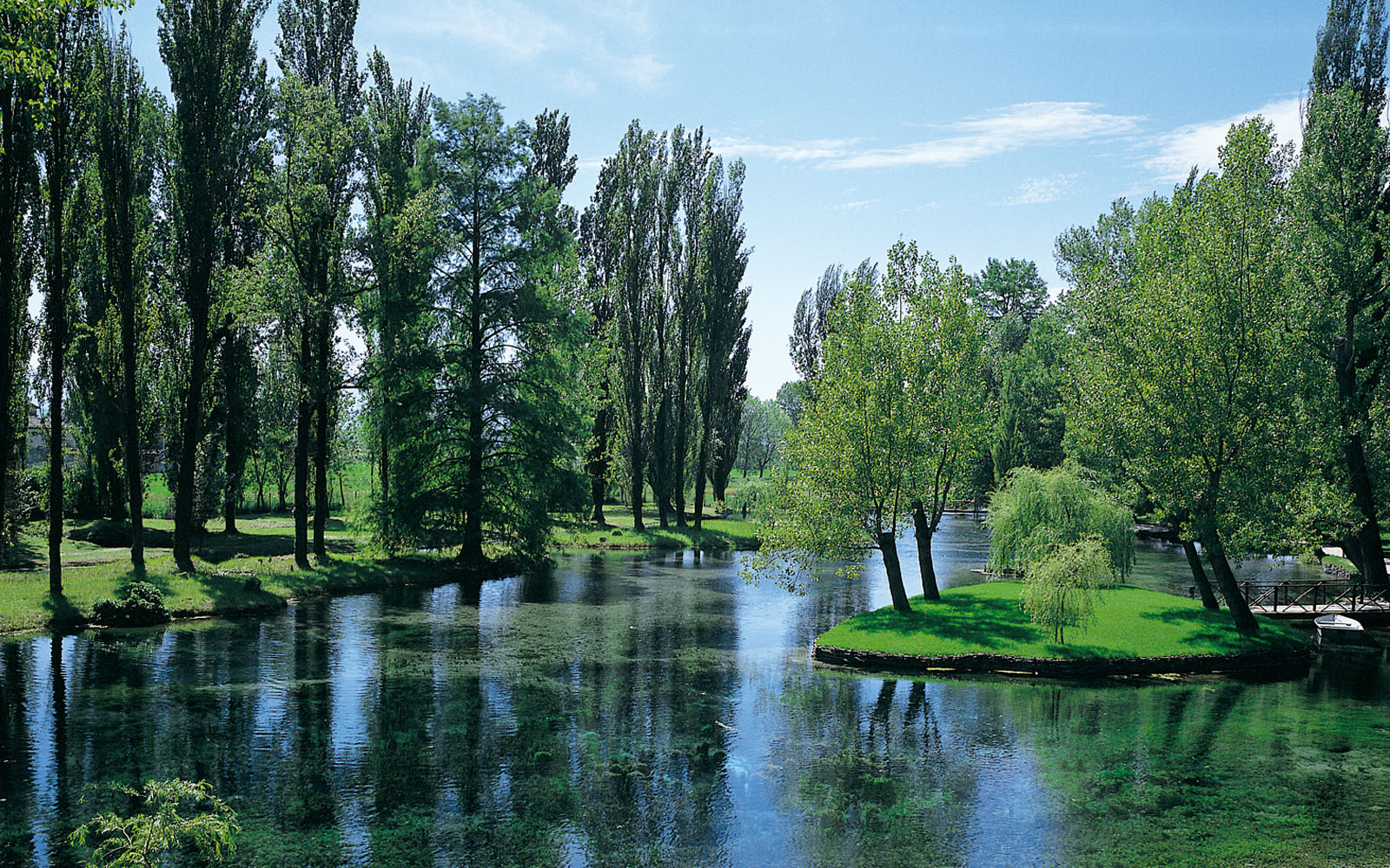
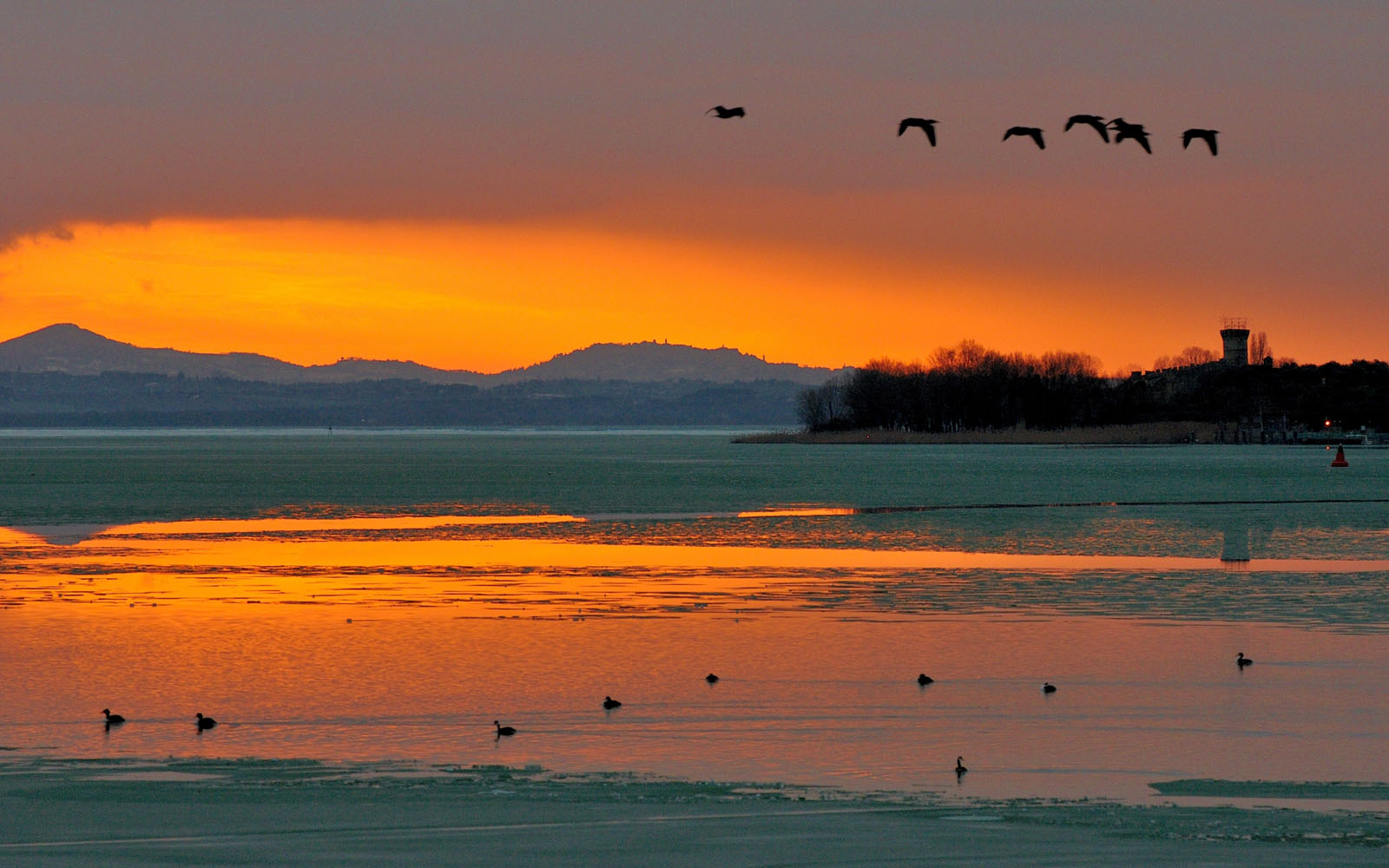
Lake Trasimeno – (approx 30 mins)
-
Marmore's Falls – (approx 1 1/2 hours )
-
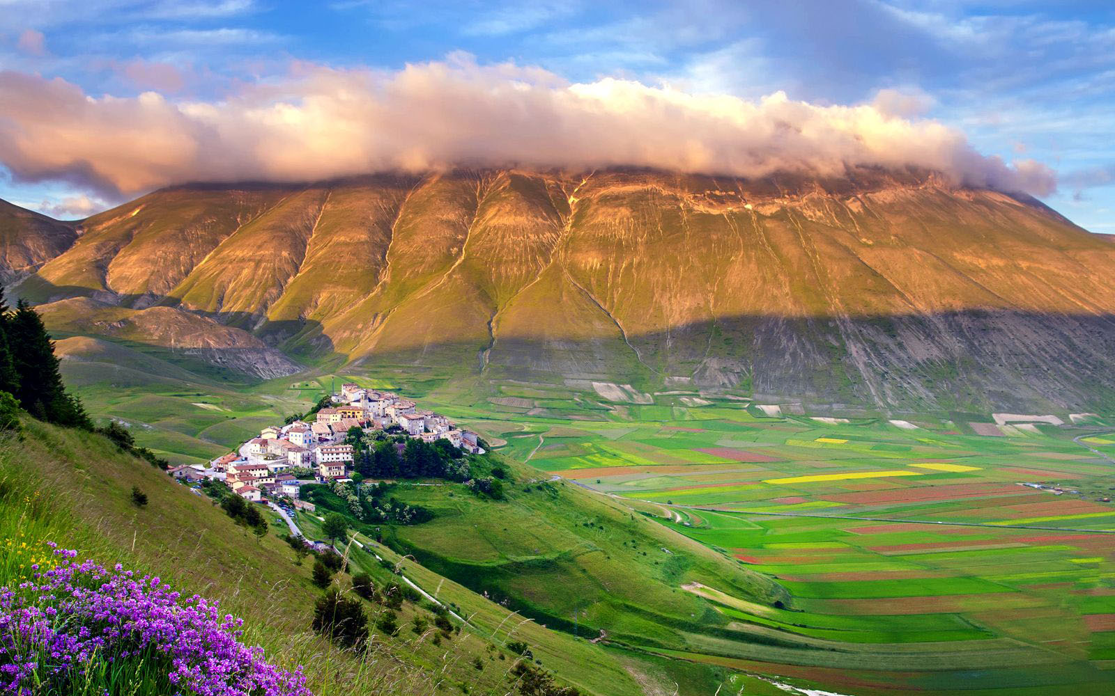
The Plains of Castelluccio – (approx 2 hours )
-
Mt Subasio Park – (approx 45 mins)